
Red Sandstone to White Badlands: St. George to Kanab
St. George was always a gas stop on the way from Vegas to Page. Across three trips I found four worthwhile stops around this corridor, from red Navajo sandstone to white badlands.
Hook
For years St. George was a gas station to me. Driving from Las Vegas up toward Page or the Grand Circle, I would fill the tank, eat something, and get back on I-15. The name was familiar. I had never seen anything outside the town.
After a few of those passes it started to feel like a waste. I was driving through anyway, and there were places within an hour or two of the road. This is a record of four of them, in the order you would actually reach them, west to east.
Quick Info
- Corridor: St. George to Kanab toward Page, along I-15 and US-89
- Visited: November 2025, April 2026, June 2026 across three trips
- Time: one to three hours each for Snow Canyon, Kolob and Toadstool; a separate half day for the White Rocks loop
- Getting there: car required. Three are paved; one needs 3.5 miles of dirt road
- Cost: Snow Canyon $15 for Utah residents or $20 for non-residents; Zion vehicle pass from $35; two BLM stops are free
- Who it suits: anyone driving toward Page with a little time to spare
- On the photos: no identifiable people, similar frames reduced to one
Route
Vegas → I-15 north → St. George          Snow Canyon State Park
                  → I-15 Exit 40         Kolob Canyons (northern detour)
                  → UT-9 or UT-14 → Kanab
                  → US-89 east 44.5 mi   Toadstool Hoodoos
                  → US-89 east 51 mi     White Rocks Hoodoo
                  → Page
Kolob is the odd one out. You drive further north on I-15 and come back, which adds about an hour and a half round trip. If you route through Cedar City and cross on UT-14, it falls on the way.
The other three sit on the road you were already taking. Toadstool in particular has its parking lot on the US-89 shoulder, which makes calling it a detour a stretch.
Timeline
- Early June, 5:00 to 7:30 pm: Snow Canyon
- Early June, 10:30 am to 1:00 pm: Kolob Canyons
- Early April, around 9:00 am: Toadstool Hoodoos
- Late November, noon to 3:30 pm: White Rocks Hoodoo
These were not done in one run. They came from three separate trips. The map makes a single-day loop look possible, but the Kolob detour and the White Rocks loop make that schedule unnecessarily rushed. Two stops is a more realistic day.
Spot Highlights
Operating details below were checked against official guidance on August 25, 2026. Fees and road conditions can change, so use the linked agency pages again before departure.
Snow Canyon State Park
https://maps.app.goo.gl/fMVGbxM8NeA9pRpV7
Eight miles north of downtown St. George on SR-18. Take the road out of town and it appears almost immediately. The official fee page lists $15 per vehicle for Utah residents and $20 for non-residents; the park is open 6 am to 10 pm year round.
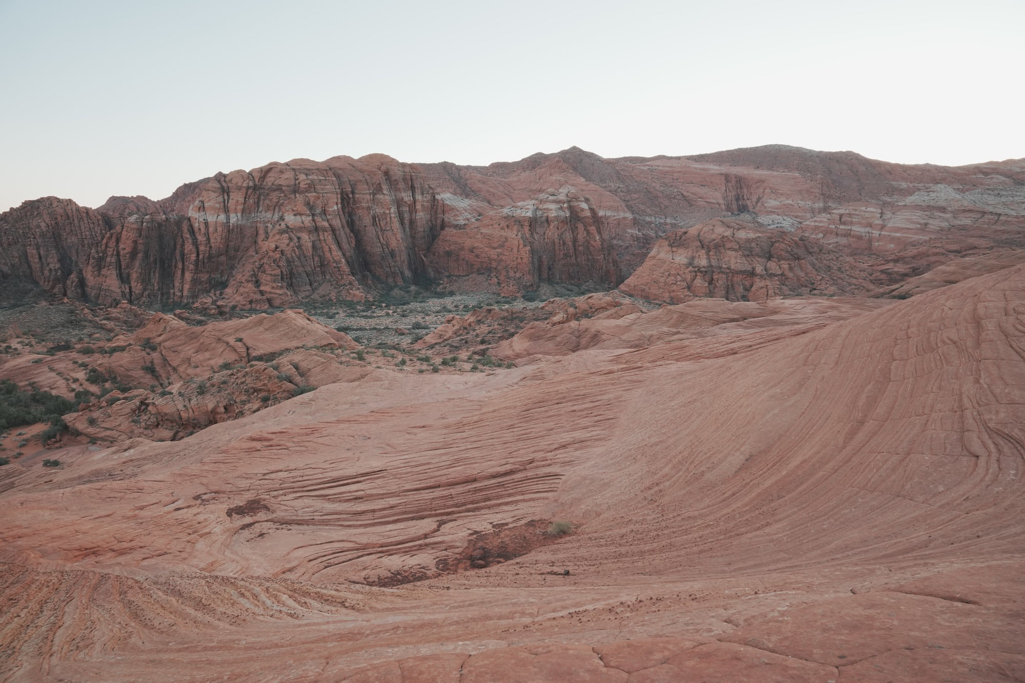
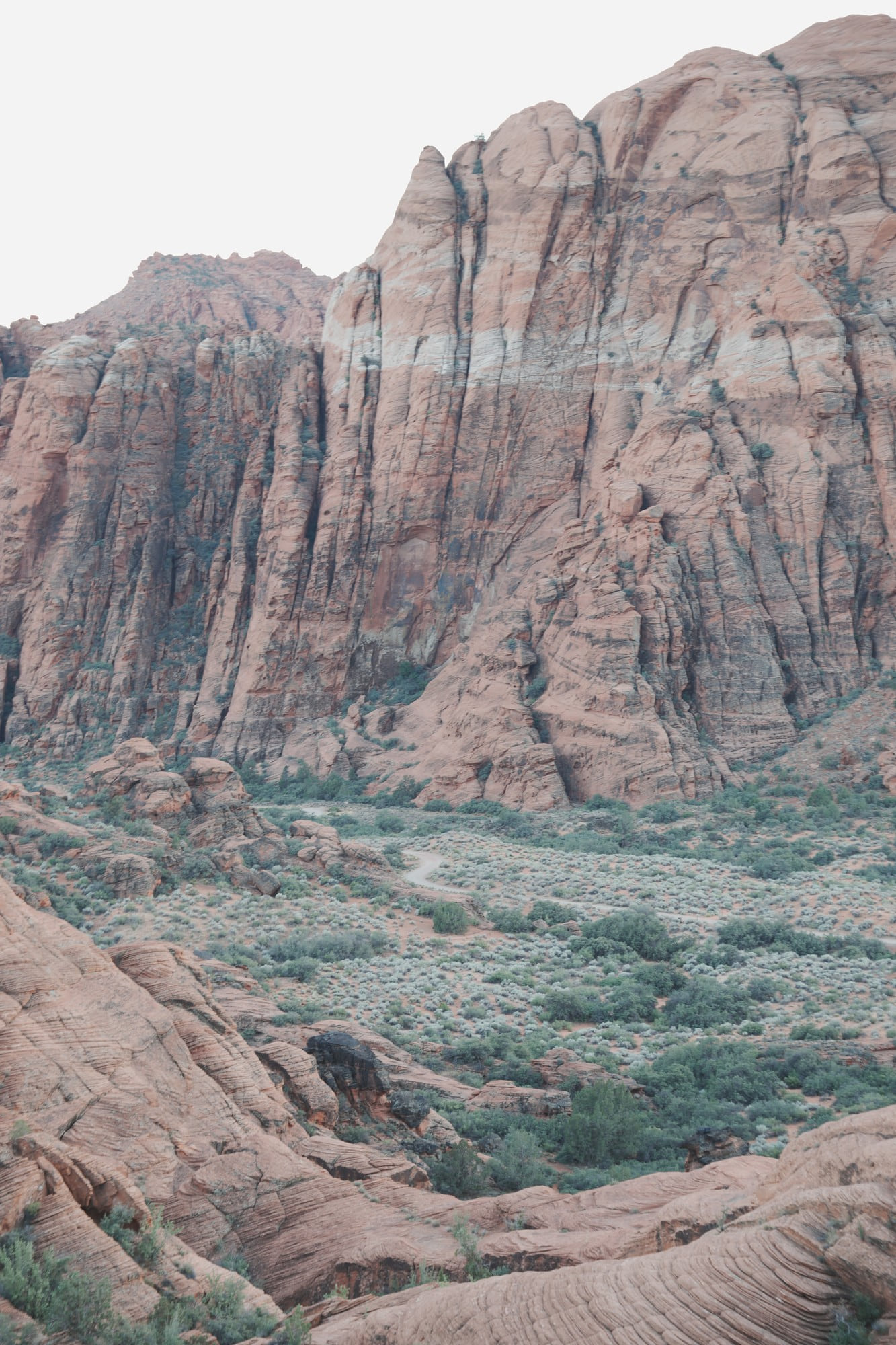
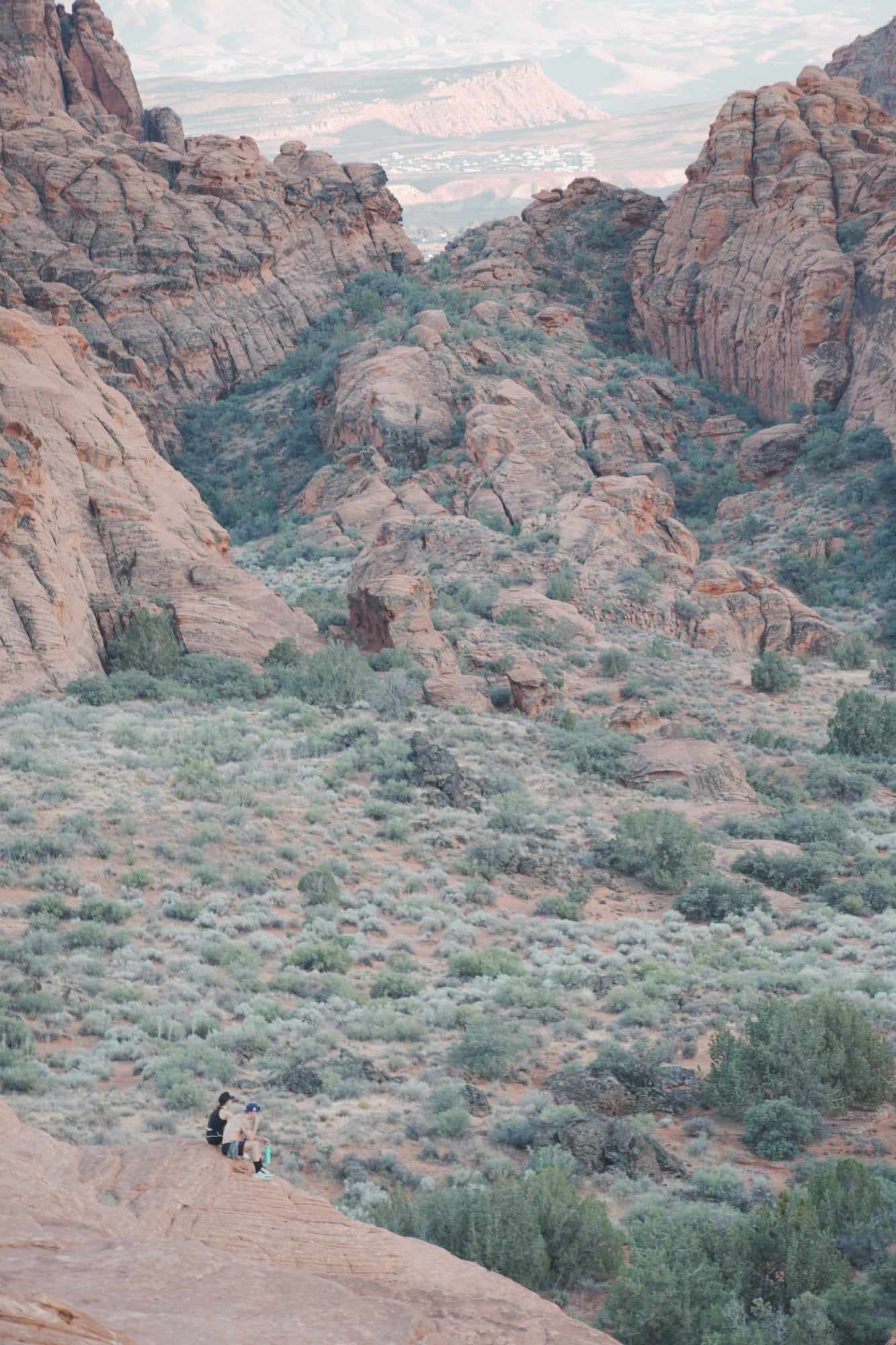
What defines this park is two layers stacked on each other. Red Navajo sandstone below, black lava flow above. If Zion is one enormous canyon and Bryce is the density of its hoodoos, this place is about contrast in color.
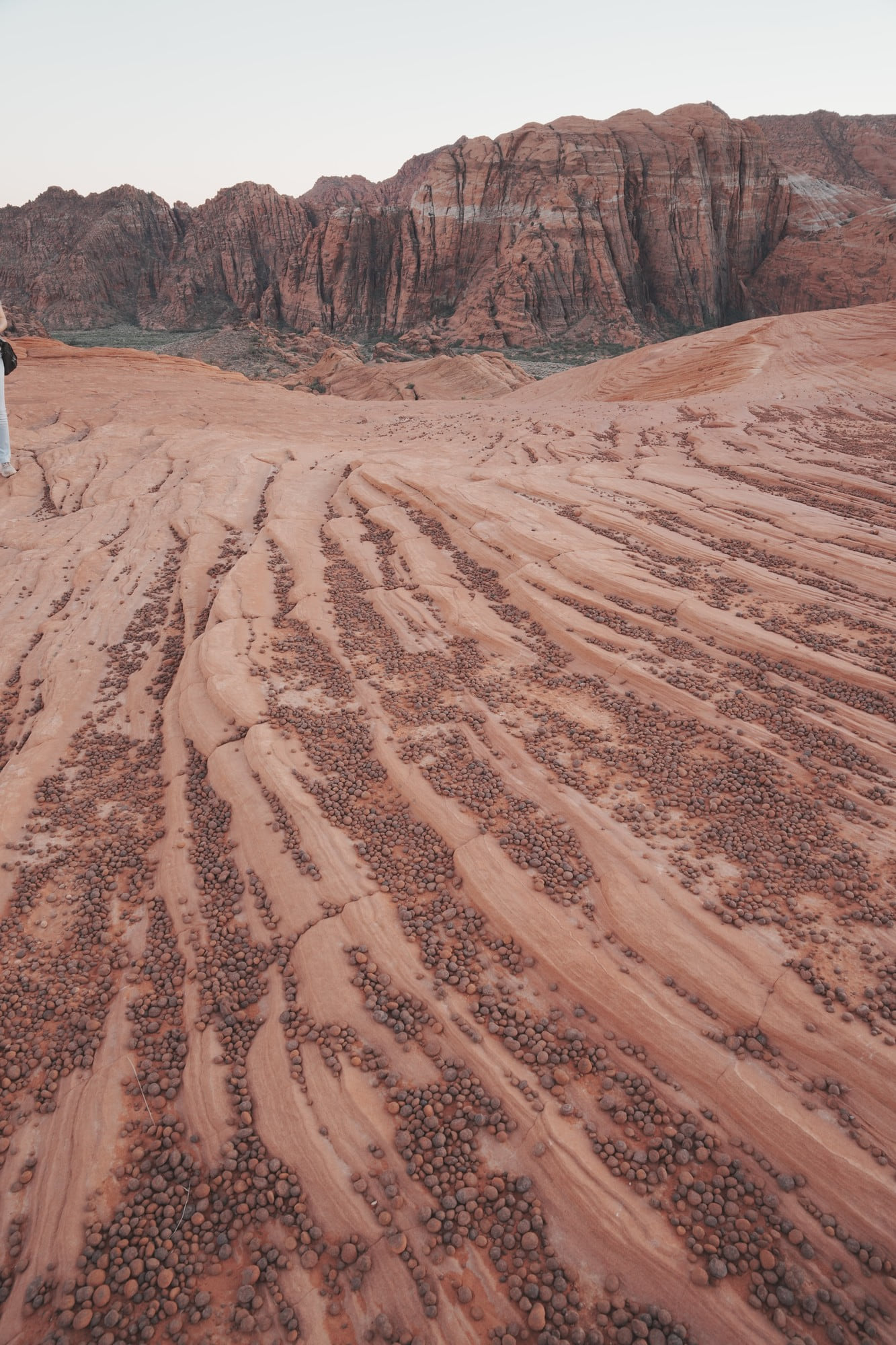
The best known route is the Petrified Dunes Trail, 1.2 miles round trip and rated easy. The first stretch is scattered with lava rock, so watch your footing. Past that you step up onto the petrified dunes themselves. This is a designated slickrock exploration area, but signs and permitted boundaries still matter because the surrounding desert soil is fragile. The cross-bedding is right under your feet.
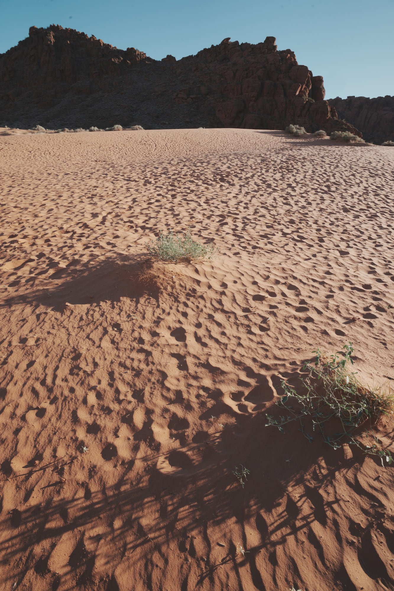
There are actual sand dunes in the park too, a separate spot a few minutes away by car. Between those two you get the shape of the place.
Jenny’s Canyon, a short slot canyon, is popular and I did not get to it. At 0.4 miles round trip it is the first thing I would do on a return visit.
This area falls inside the Red Cliffs Desert Reserve, protected desert tortoise habitat. Slow down on the park roads. I never saw one.
Kolob Canyons
https://maps.app.goo.gl/ZjynX4HyKSyPvaQSA
The northwest section of Zion National Park. You enter straight off I-15 Exit 40, which makes access the easiest of the four. It shares Zion’s $35 private-vehicle entrance pass. In 2026, non-US residents aged 16 and older may owe an additional fee unless covered by an eligible annual or America the Beautiful pass, so check the current rule for your group.
The scenic drive is 10.6 miles round trip and that is the baseline. You do not need to hike; the red finger canyons are visible from the road. An hour covers the drive alone.
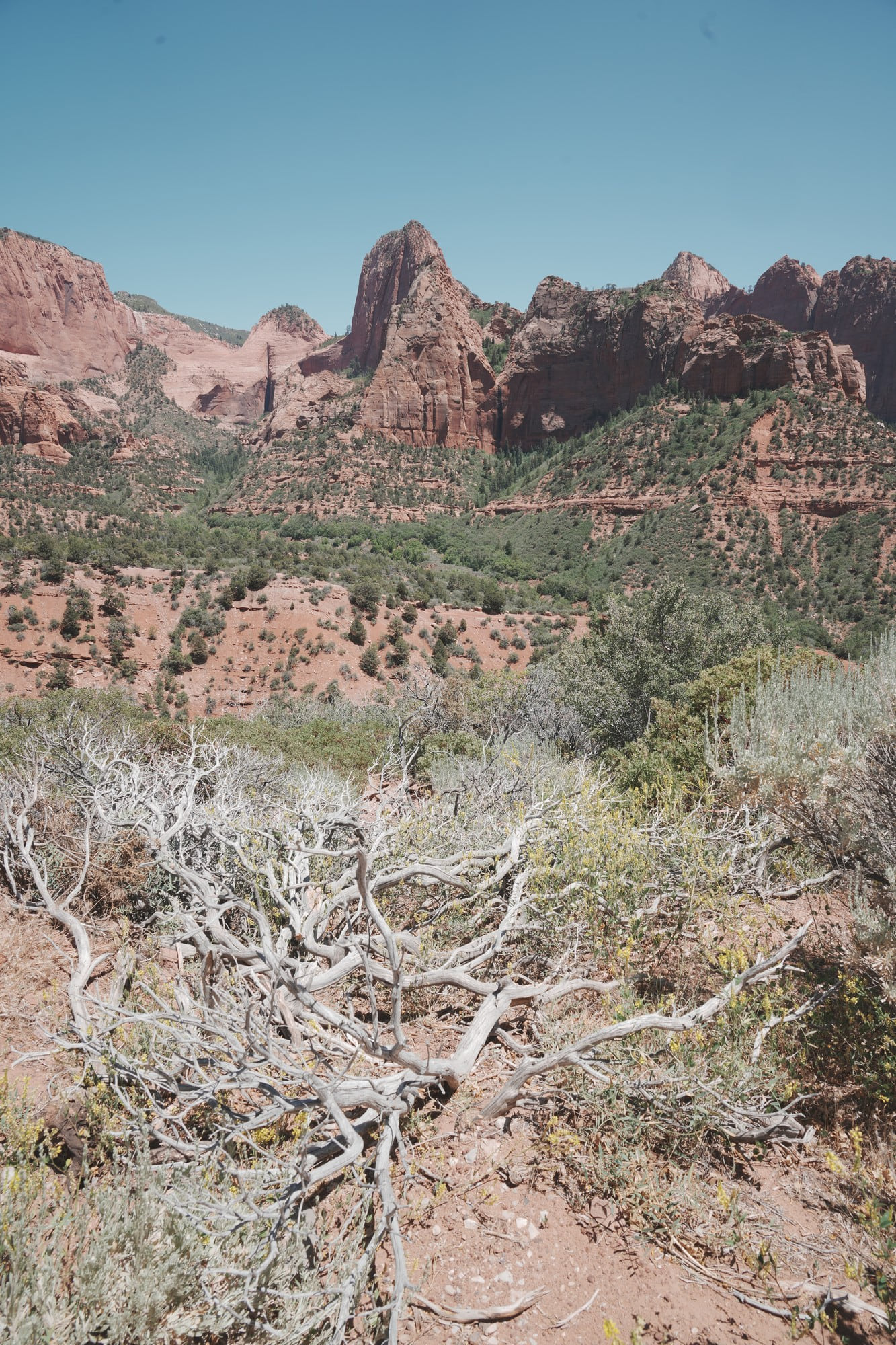
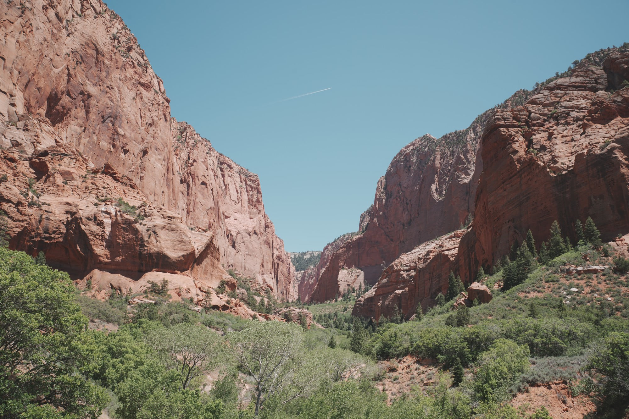
The Timber Creek Overlook Trail starts from the parking area at the end of the road. One mile round trip with about a hundred feet of climb, thirty minutes to an hour. All three Kolob photos here were taken on that trail.
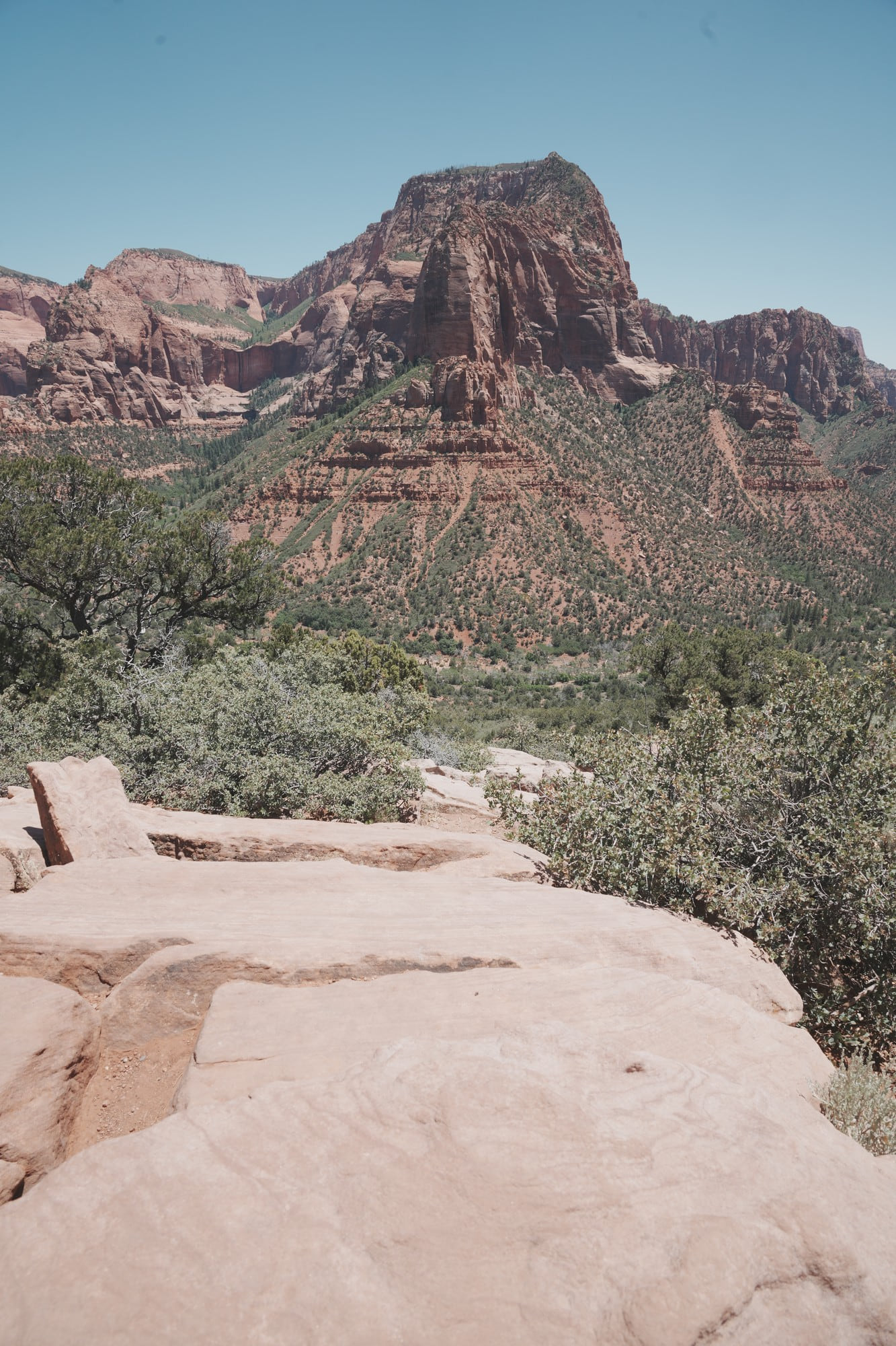
It is a short walk along a ridgeline, but the view changes from what you get on the road. From the car you face the canyons head on. Up here you stand on the ridge and look down into them. On a clear day the overlook reaches Mount Trumbull on the North Rim of the Grand Canyon, a hundred miles out.
Timing was my mistake. I went in at 10:30 and left past noon, with the sun straight overhead, and the texture on the red walls was gone. This is a place for early morning or late afternoon.
In winter the road can close for snow or ice. Worth checking before you commit to the detour.
Toadstool Hoodoos
https://maps.app.goo.gl/5PFAa9MEjwmLuc9E6
44.5 miles east of Kanab, 27 miles west of Page. There is a wooden BLM sign reading “The Toadstools” and a dirt lot on the north shoulder of US-89, around milepost 19.3, about 1.5 miles west of the Paria ranger station.
No entrance fee, no parking fee. The trail is 1.6 miles round trip on packed sand with almost no elevation, so footwear is not a concern. The dirt lot holds around 25 cars, which is not generous.
This is the one busy stop of the four. Every time I have been there, several dozen people were spread across the site and the lot was close to full. It makes sense: you walk in straight off the highway, it costs nothing, and 1.6 miles round trip asks very little. The emptiness of the other three sharpens the contrast.
If you want frames without people in them, expect to wait. The main cluster is where that matters most.
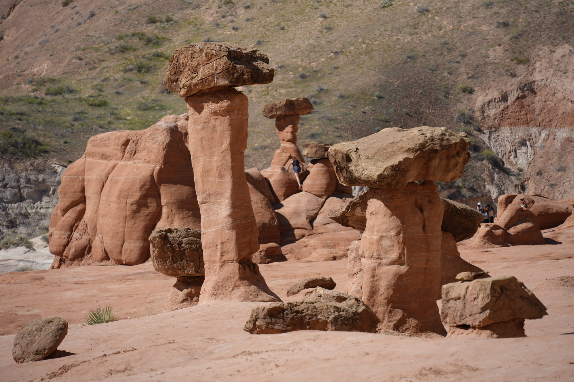
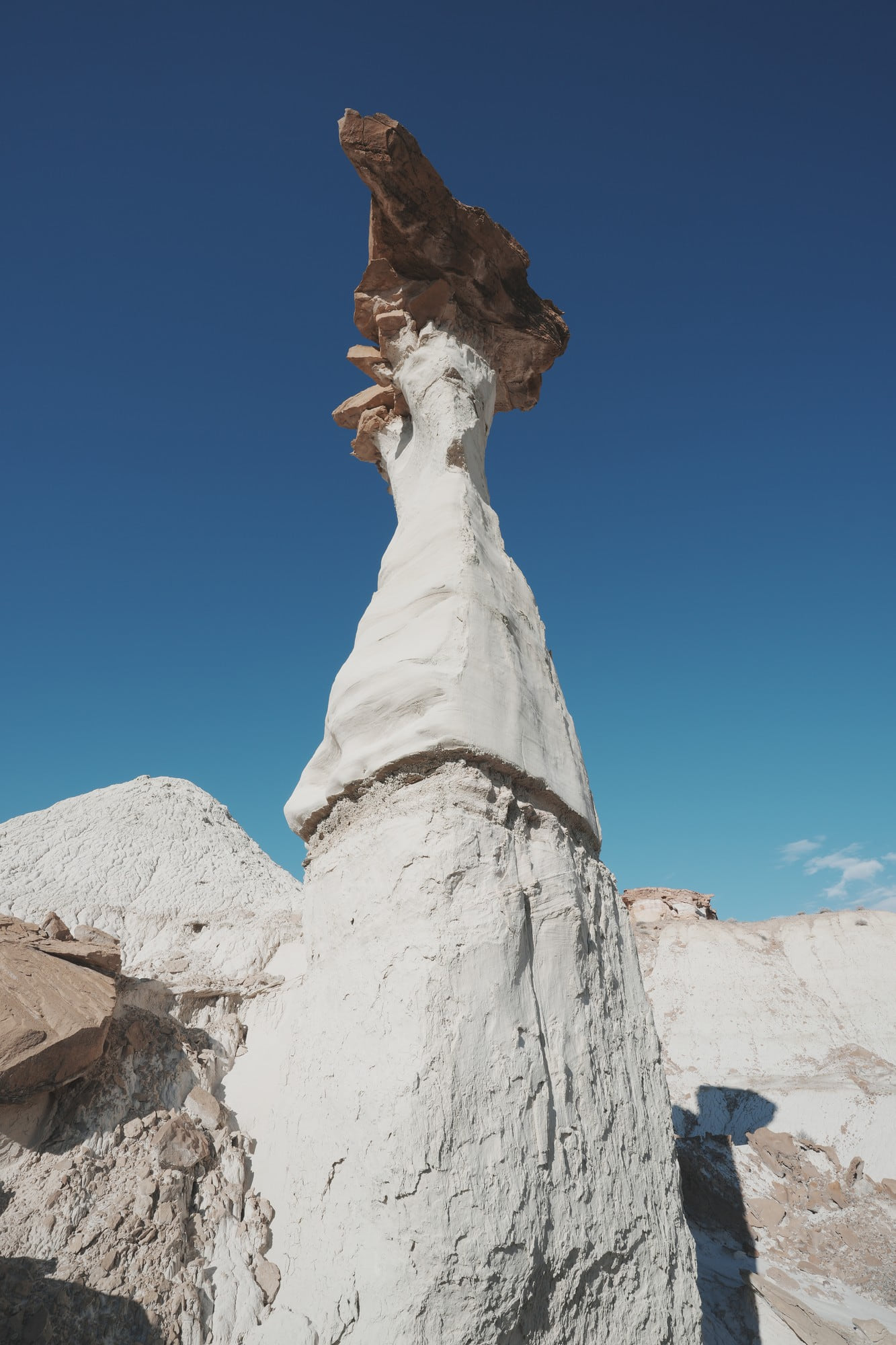
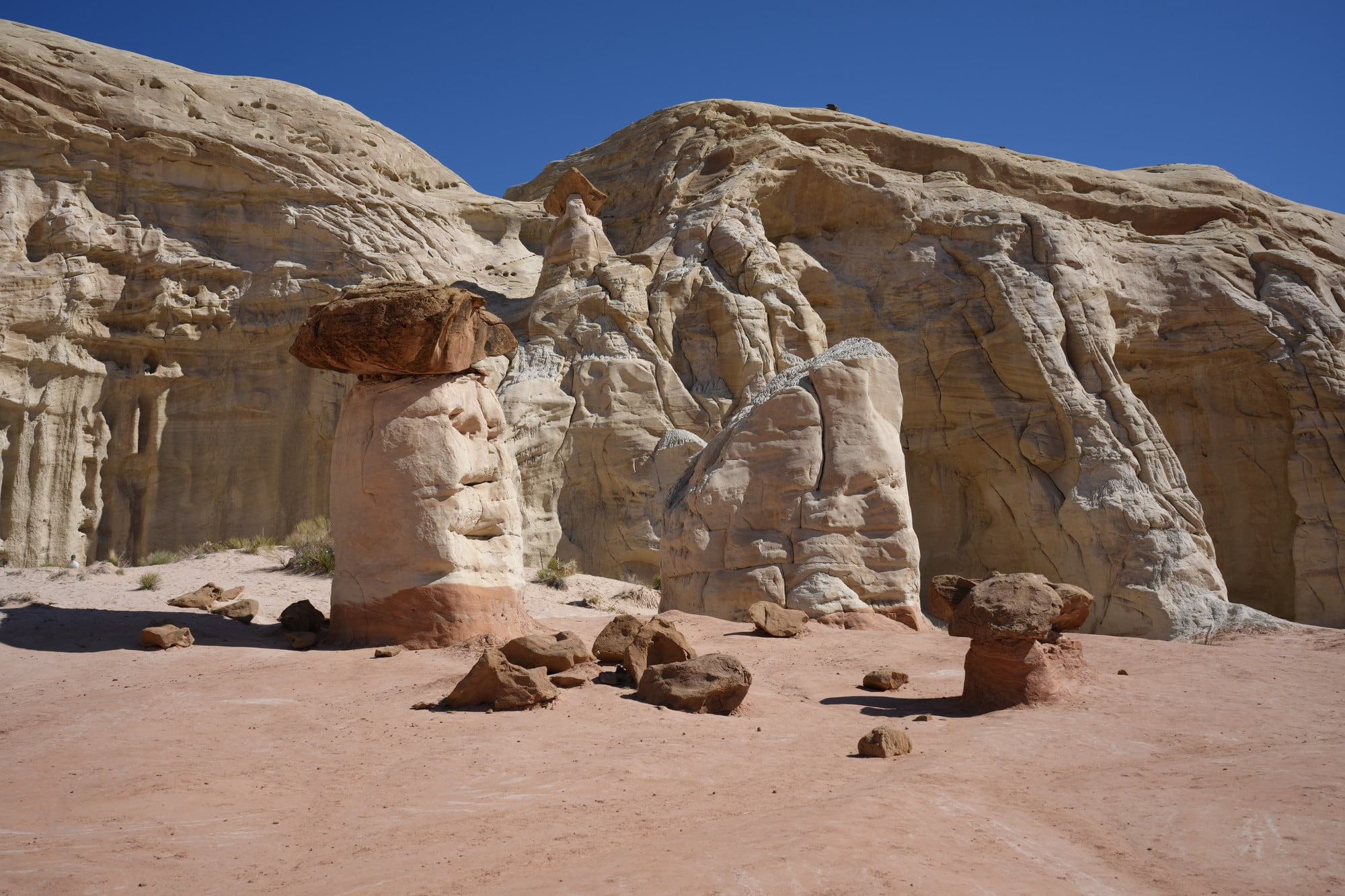
They are named for what they look like. As the white sandstone column erodes, the harder red caprock on top acts as an umbrella, and only what sits under it survives. Once the caprock falls, the column does not last long.
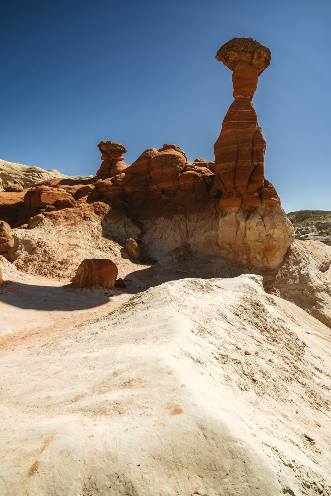
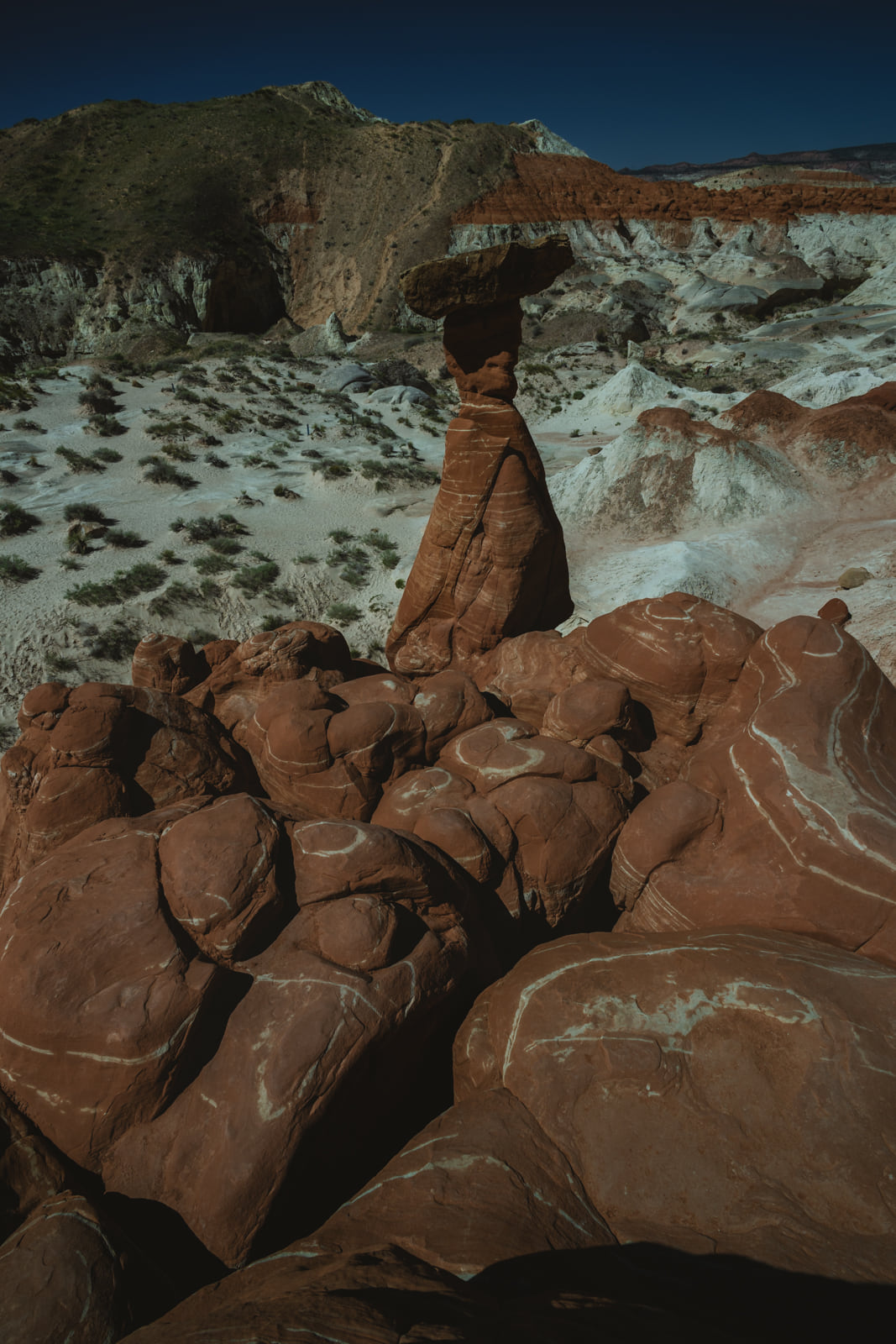
The cluster is what shows up in most photographs, but the ones standing alone a little further out stayed with me longer. With nothing around them the shape reads more clearly.
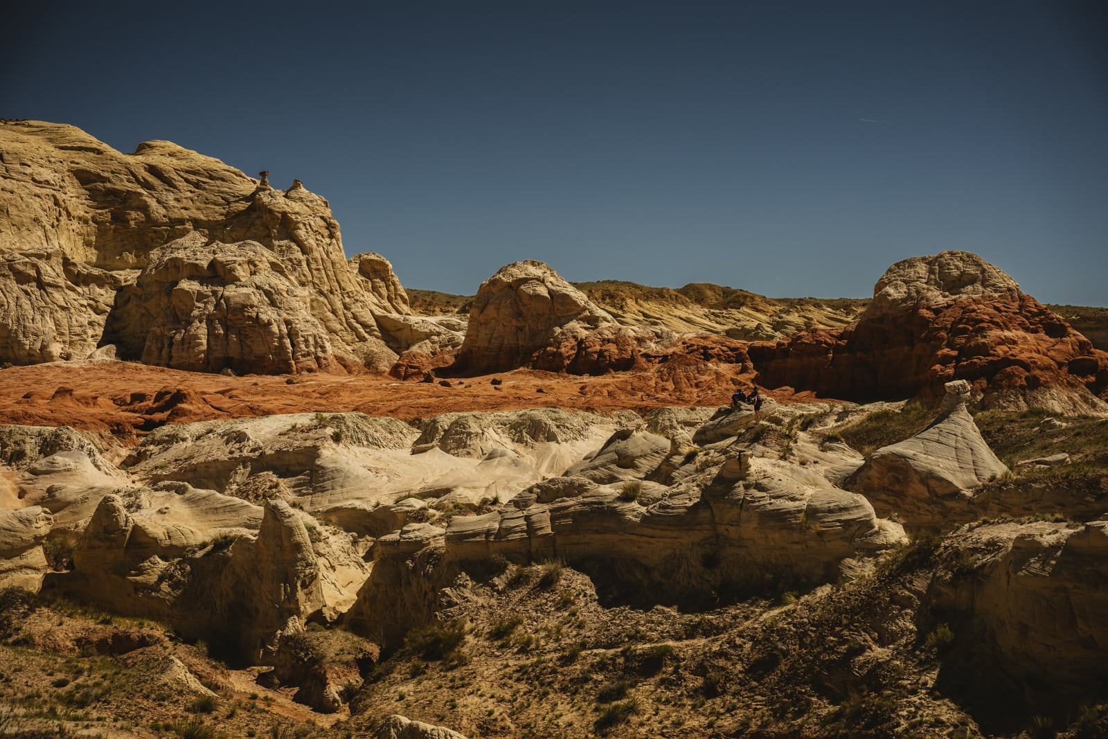
Climb a little past the end of the trail and the view opens. From there you can see how far the formation runs.
There is a window worn through one of the rock faces. It is small enough to walk past.
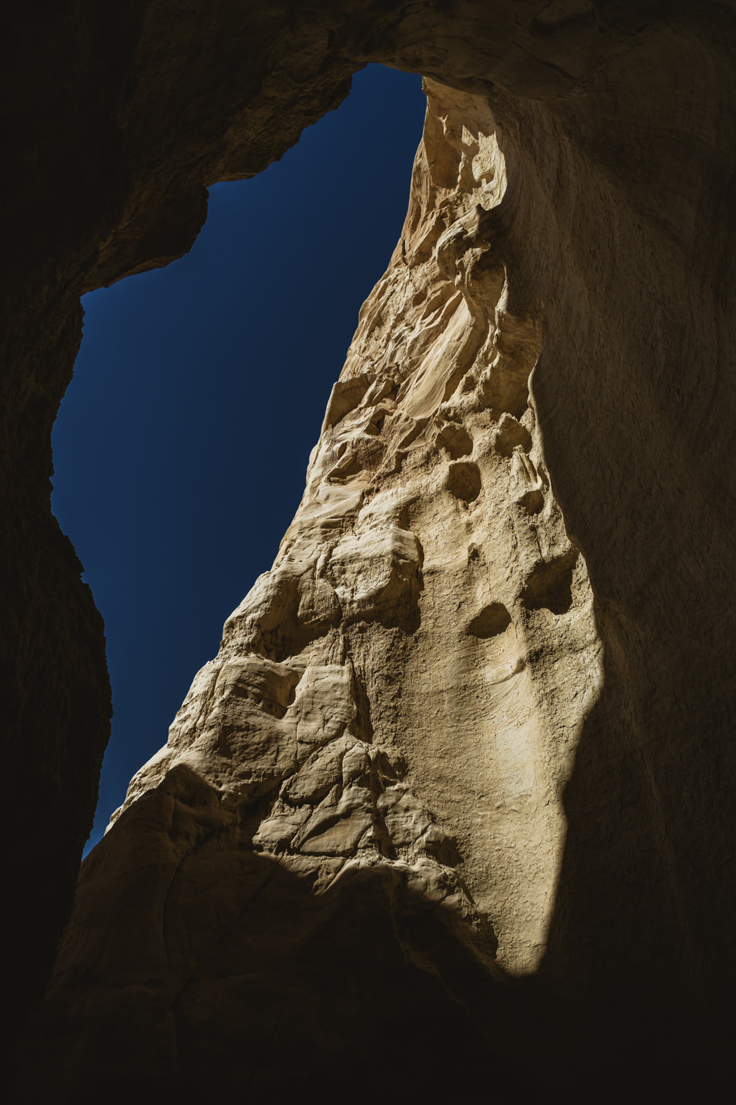
White Rocks Hoodoo
https://maps.app.goo.gl/VFaNwVJzcJHFLiV59
About six miles further toward Page from Toadstool. Turn onto BLM Road 435 at the east end of a small settlement called Church Wells and drive 3.5 miles to the trailheads. It is 51 miles from Kanab, 20 miles from Glen Canyon Dam.
This is the only one of the four with a dirt approach. Dry, it is manageable in a standard SUV despite some washboard. Wet is a different matter. The soil here turns slick when it takes water and wheels sink. If you are not in four wheel drive, look at the surface before you commit.
The trail is a different animal from the other three as well. The full loop runs about six miles. When I went in November 2025 it was blocked partway around and I backtracked the way I came. Whether that is still the case I do not know; that was the state of it then. Three and a half hours and I never closed the loop. This is the one place where treating it as a quick roadside stop does not work.
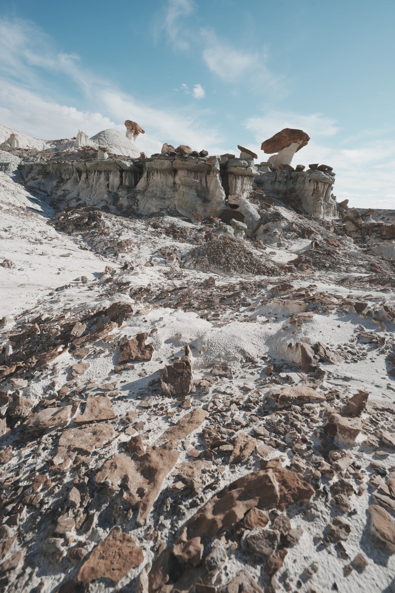
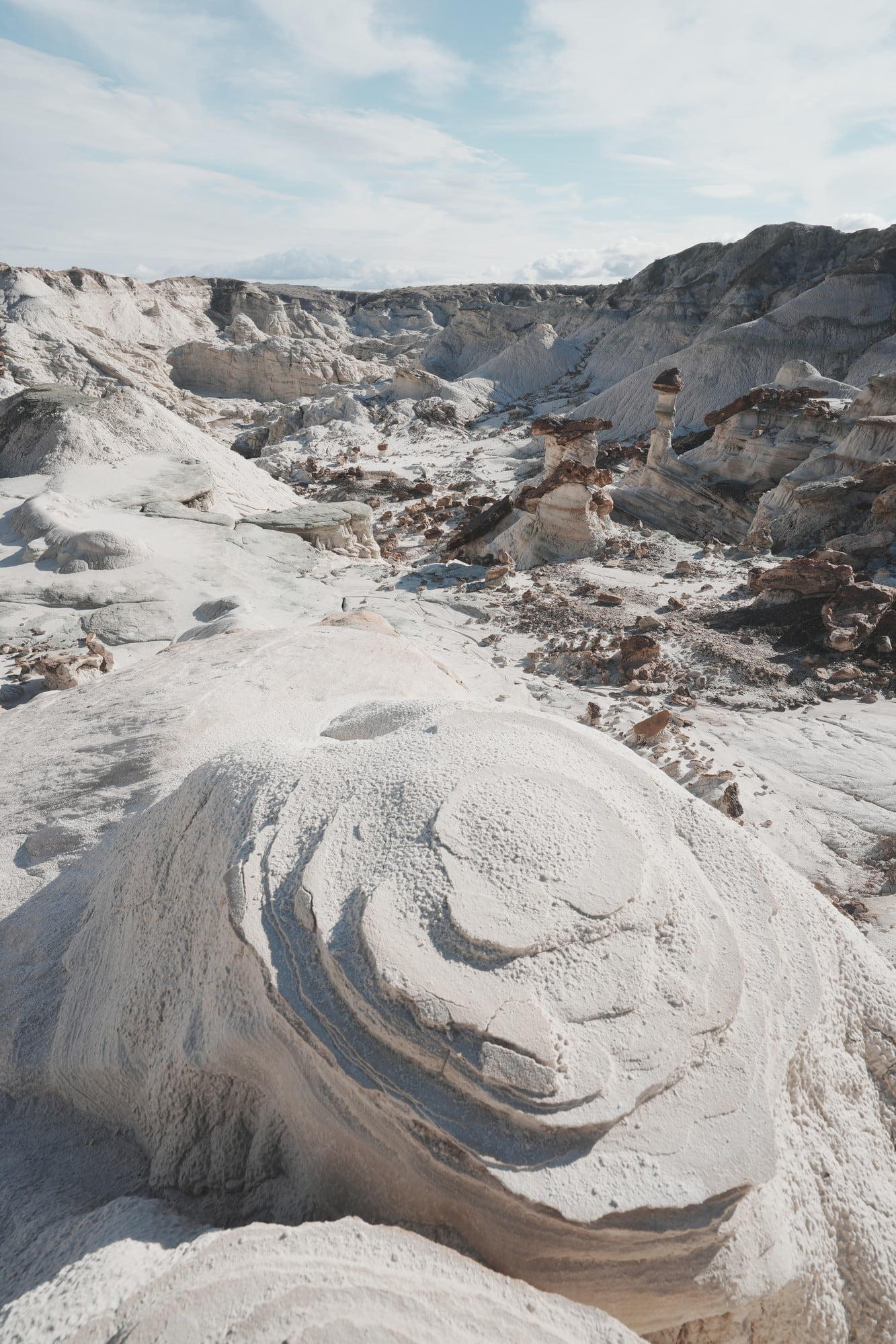
Same family as Toadstool, different color. There it is red caprock on white columns; here the whole formation is white and gray. The scale is larger too.
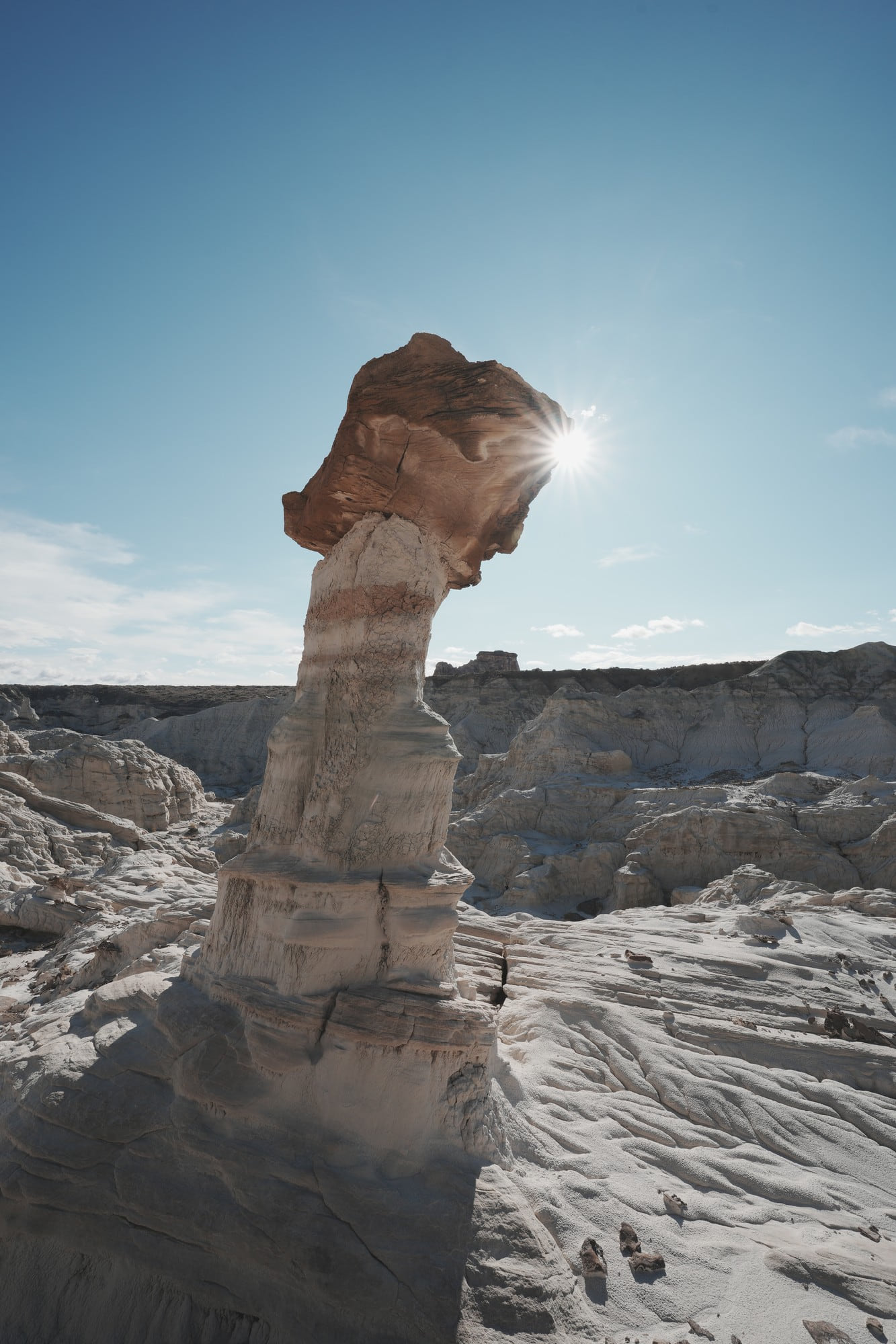
I spent three and a half hours here, noon to 3:30 in late November. Midday still worked, because the white ground bounces light back and the shadows never fully close up. Better than Toadstool in that respect.
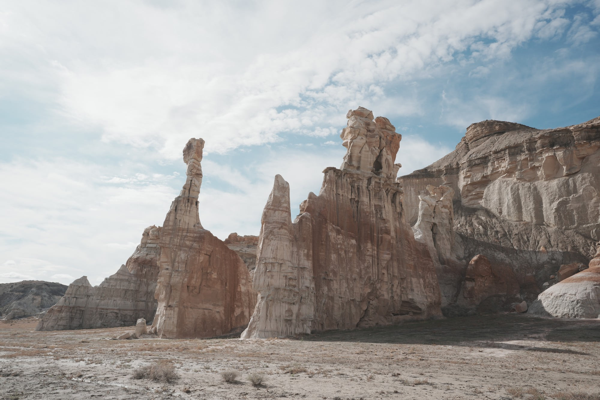
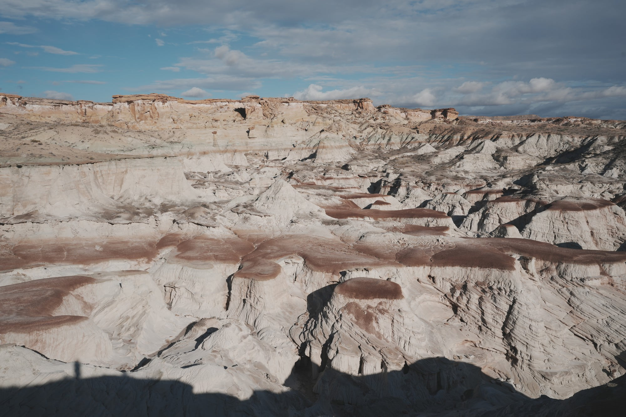
The ground is not uniform. White sandstone, gray mudstone and red layers alternate, and each feels different underfoot. You walk on firm sandstone and then hit a stretch that gives.
Landscape Notes
- Badlands running to the horizon. This is where the scale of the formation shows
- Red flats under white cliffs, between the Toadstool parking lot and the start of the trail
- Neither stretch has shade. Summer would be hard to sit through
- Apart from Toadstool, all three were quiet, which is worth noting for places wedged between famous national parks
Tips
- Vehicle: Snow Canyon, Kolob and Toadstool are fine in a sedan. Only White Rocks is unpaved, and on a wet day it is not worth attempting without four wheel drive
- Cost: Snow Canyon is $15 per vehicle for Utah residents and $20 for non-residents. Kolob uses Zion’s $35 private-vehicle pass, with 2026 nonresident rules depending on visitor and pass status. Toadstool and White Rocks are free
- Light: avoid midday at Kolob. Late afternoon suits Snow Canyon. At Toadstool you end up shooting east, so late afternoon may beat morning. White Rocks holds up at midday because the ground is white
- Water and shade: none of the four have much shade. The Petrified Dunes are open slickrock with no trees at all, and neither Toadstool nor White Rocks has drinking water. In summer, go early or near sunset or not at all
- Fuel: gas stations thin out between St. George and Kanab. Fill up in St. George
- Crowds: Snow Canyon, Kolob and White Rocks are quiet. Toadstool is consistently busy, the lot can fill, and getting frames without people means waiting or arriving early
- Trails: the first three are short. Petrified Dunes at Snow Canyon (1.2 miles round trip), Timber Creek Overlook at Kolob (1 mile), Toadstool (1.6 miles), all under an hour, which is what makes them work as stops on a drive. White Rocks is the exception at roughly six miles for the loop, and needs its own block of time
- White Rocks access: on my November 2025 visit the loop was blocked partway and I backtracked. I have not confirmed whether that has changed, so if you are planning the full loop it is worth checking recent conditions with the BLM
- If you only have one day: Snow Canyon and Toadstool give the best return. Both are easy to reach and they sit at opposite ends of the same story
Closing
Laid out together, the four places run from red to white. The Navajo sandstone at St. George is the reddest of them, and the color drains as you move east of Kanab. Same sandstone, hardened under different conditions in different eras.
I did not plan the route that way. It only became visible later, sorting through three separate trips. For anyone driving this road next, I would rather it be visible from the start.