
Three days in Utah, from a frozen lake to red canyons
An April 17–19, 2021 road trip across southern Utah, beginning among snow, forest, and ice before moving into red cliffs and hoodoo country.
April 17 — A lake still holding winter
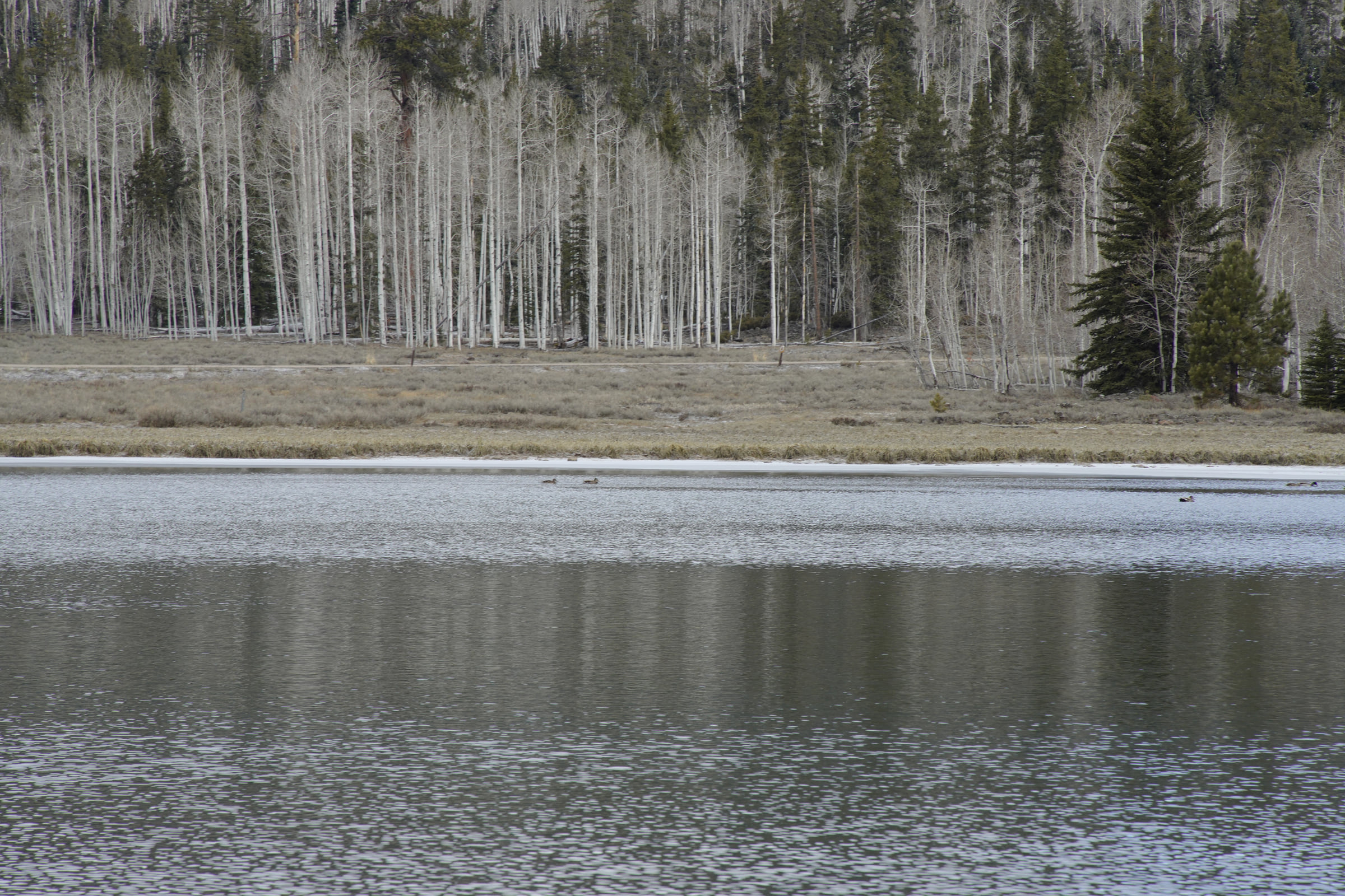
At 8:28 AM on the first day, ice and snow remained along the lake. Bare aspens stood beside darker conifers on the opposite shore.
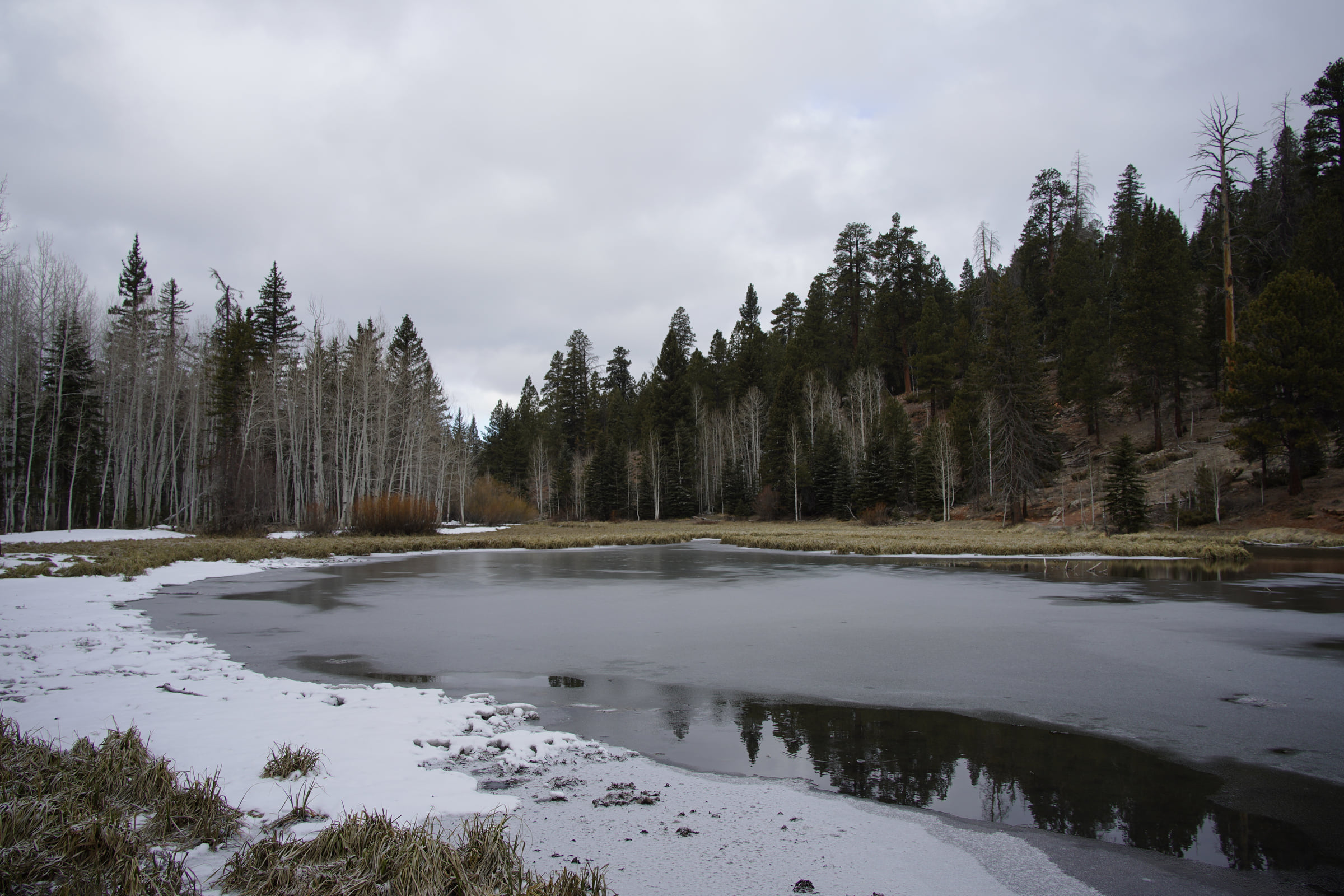
From another side, a thin sheet of ice covered most of the water. Overcast sky, snow, and dark open water made the scene feel closer to winter than mid-April.
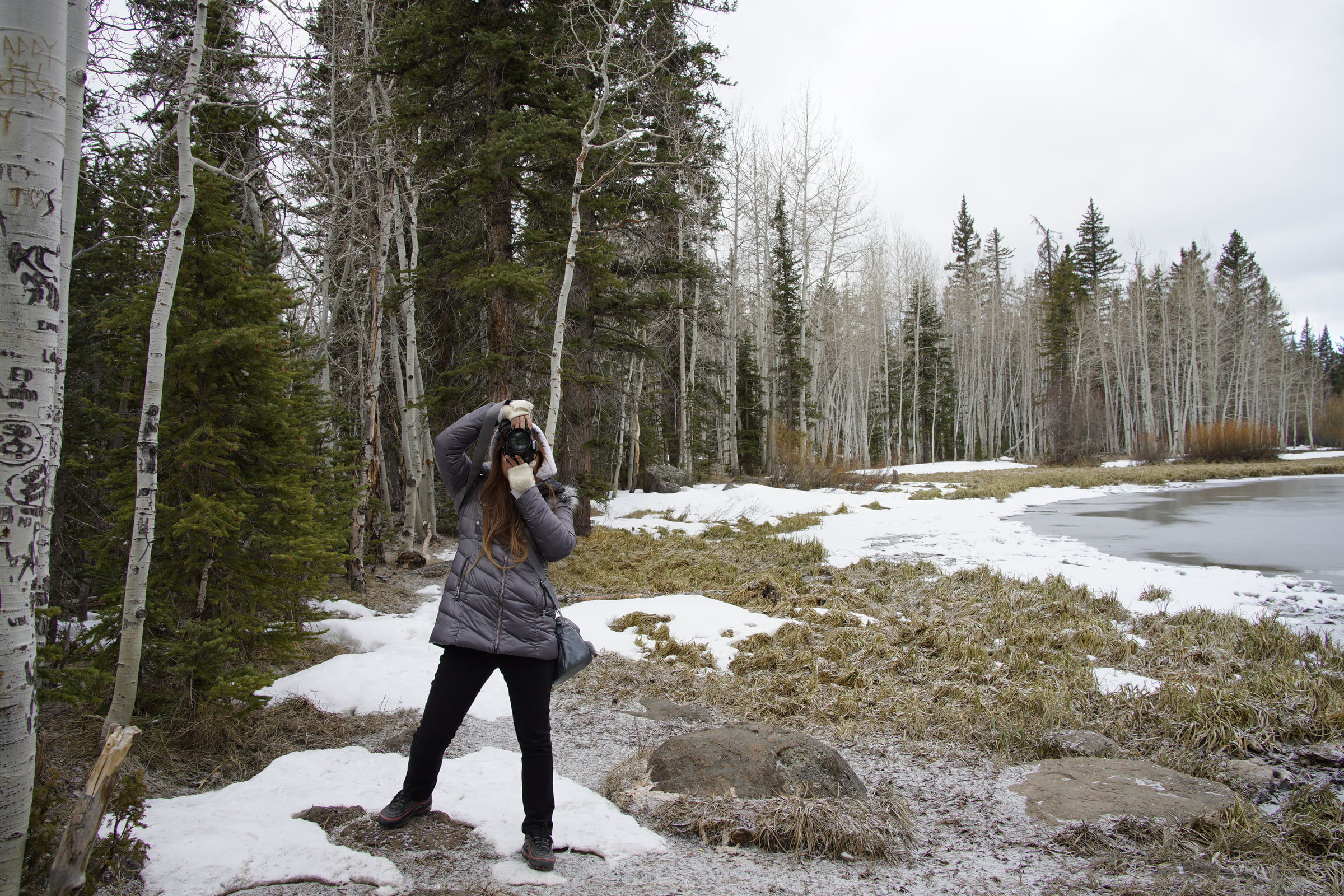
At the forest edge, we pointed our cameras at each other. The person, snow, and marks left on the nearby aspen became one small record of the quiet lakeshore.
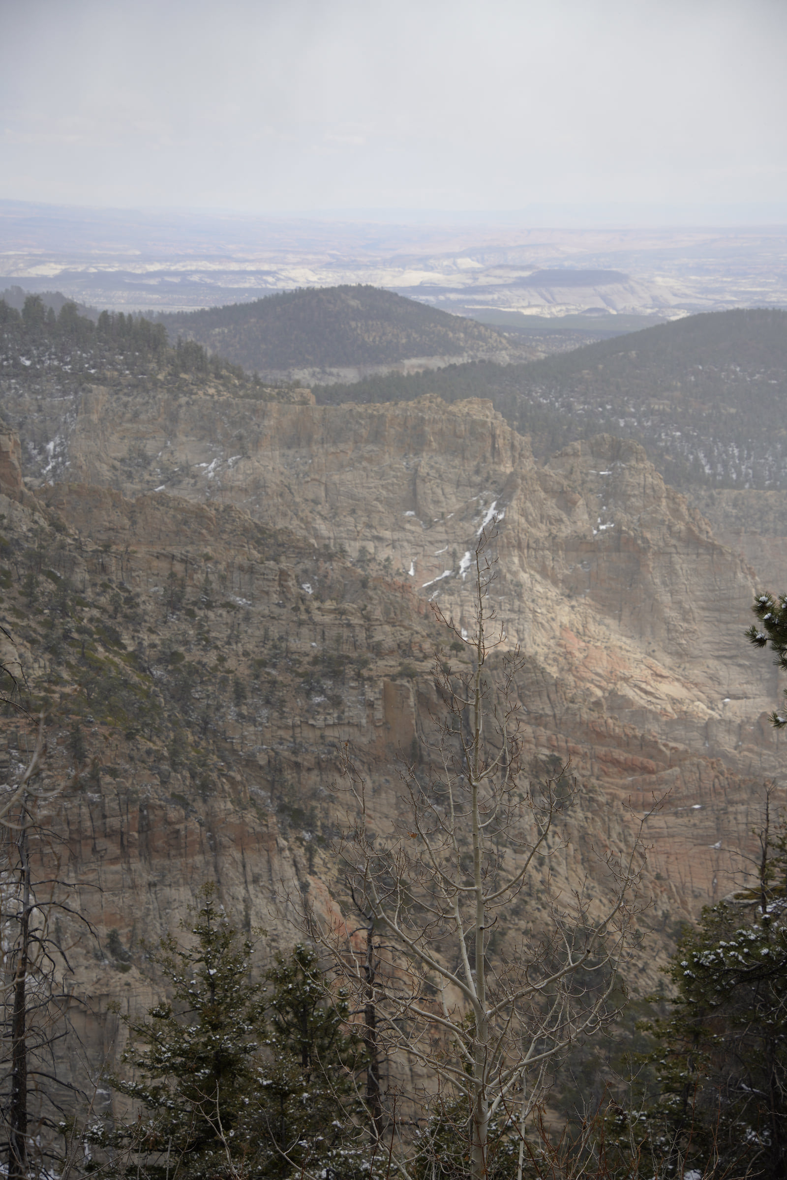
At 2:18 PM, the view opened over a deep wall of rock. Unlike the flat water of the morning, forest and cliff now fell away in several layers.
Near the end of the day, red columns and a long cliff followed a bend in the road. Gray lake and red rock had appeared only hours apart.
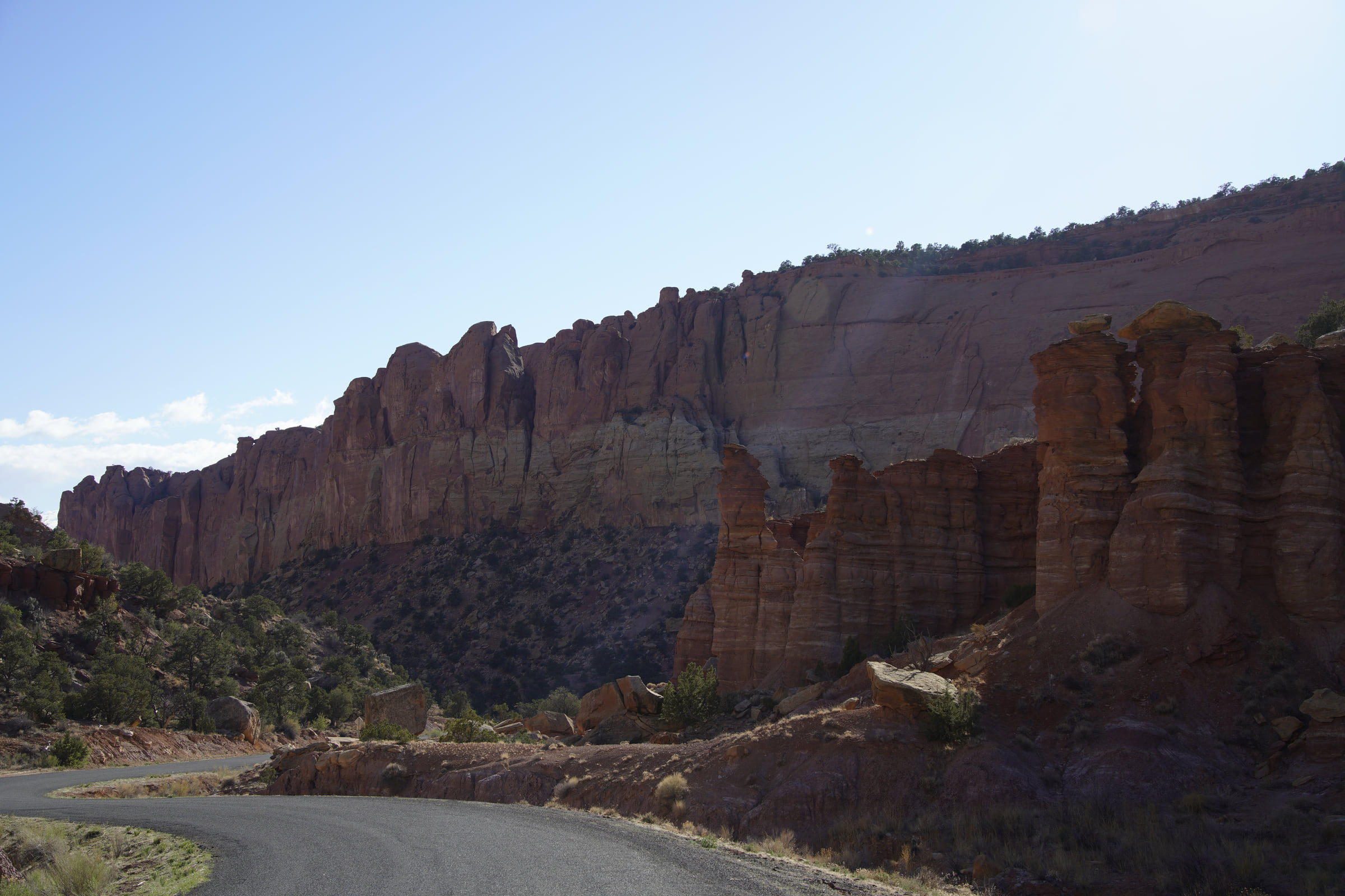
April 18 — Red and pale layers of stone
The second afternoon passed through rock where red layers met pale sandstone. Under a clear sky, the boundary between colors and the shape of the cliff were sharply visible.
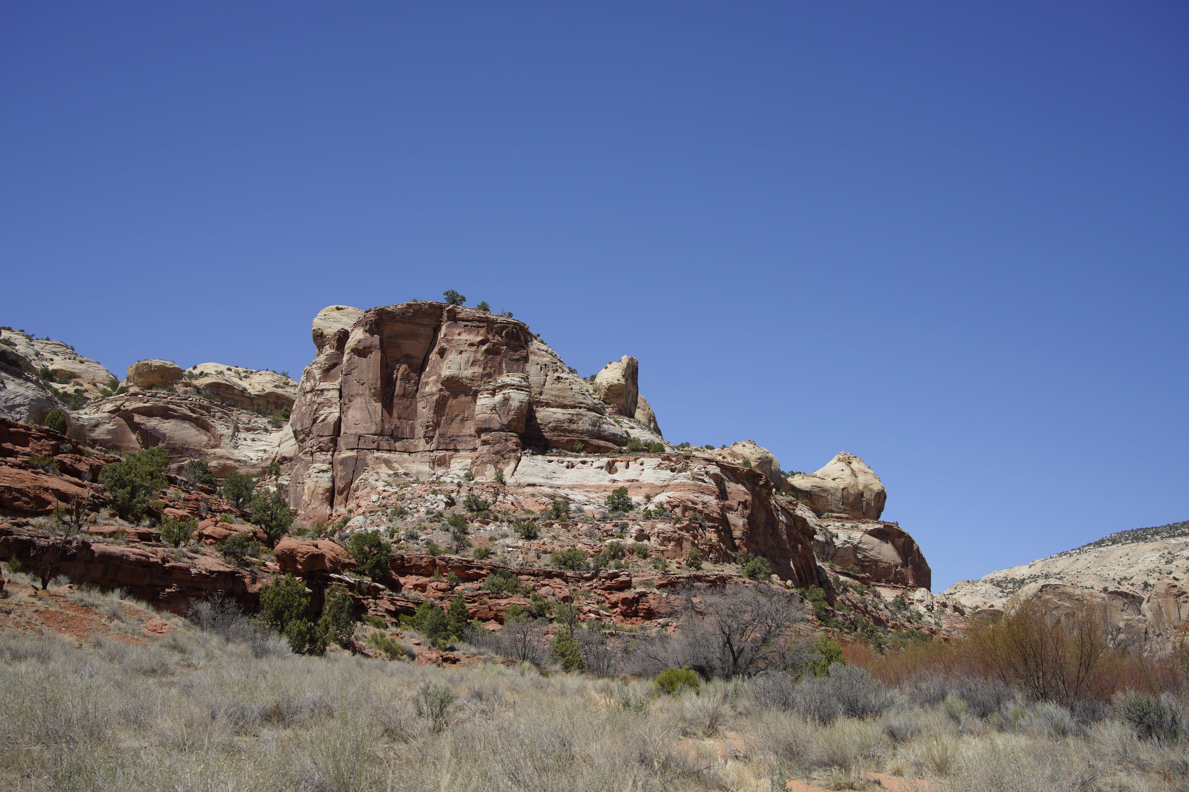
April 19 — The view opens
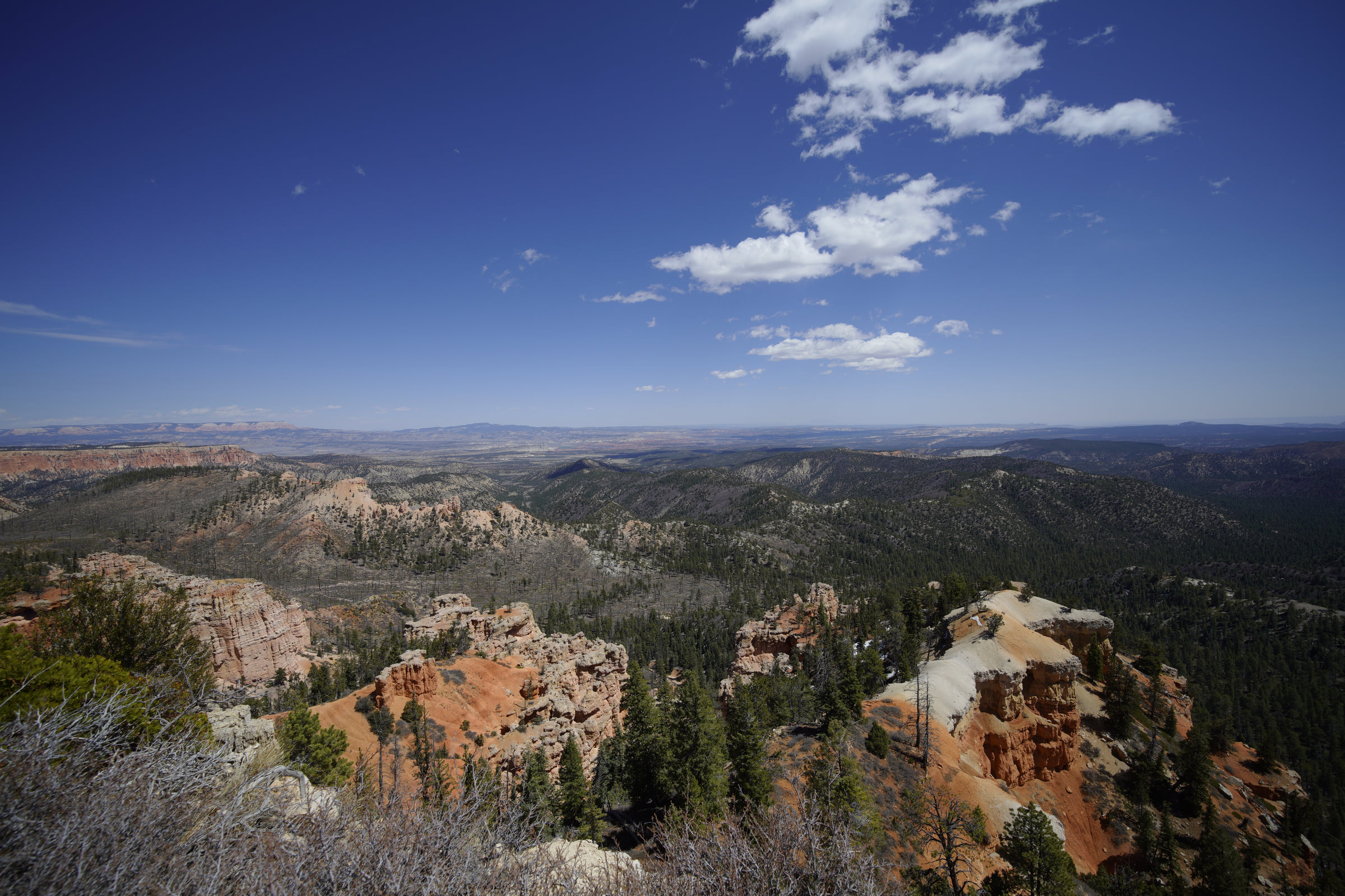
On the third afternoon, a high viewpoint opened across forest, pale cliffs, and red hoodoos. Features seen at close range over the previous two days now sat inside one larger landscape.
At 5:11 PM, hoodoos, a winding path, and the distant plain shared the final frame. The journey that began beside a frozen lake ended above the red terrain of southern Utah.
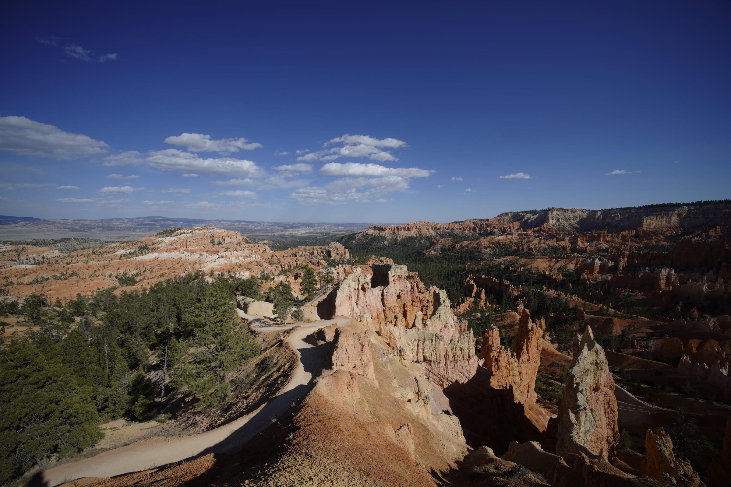
The largest changes across the three days were color and elevation: gray shoreline, red roadside rock, and finally a view that gathered several landforms at once. More than any single stop, those quick transitions shaped the trip.